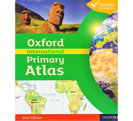
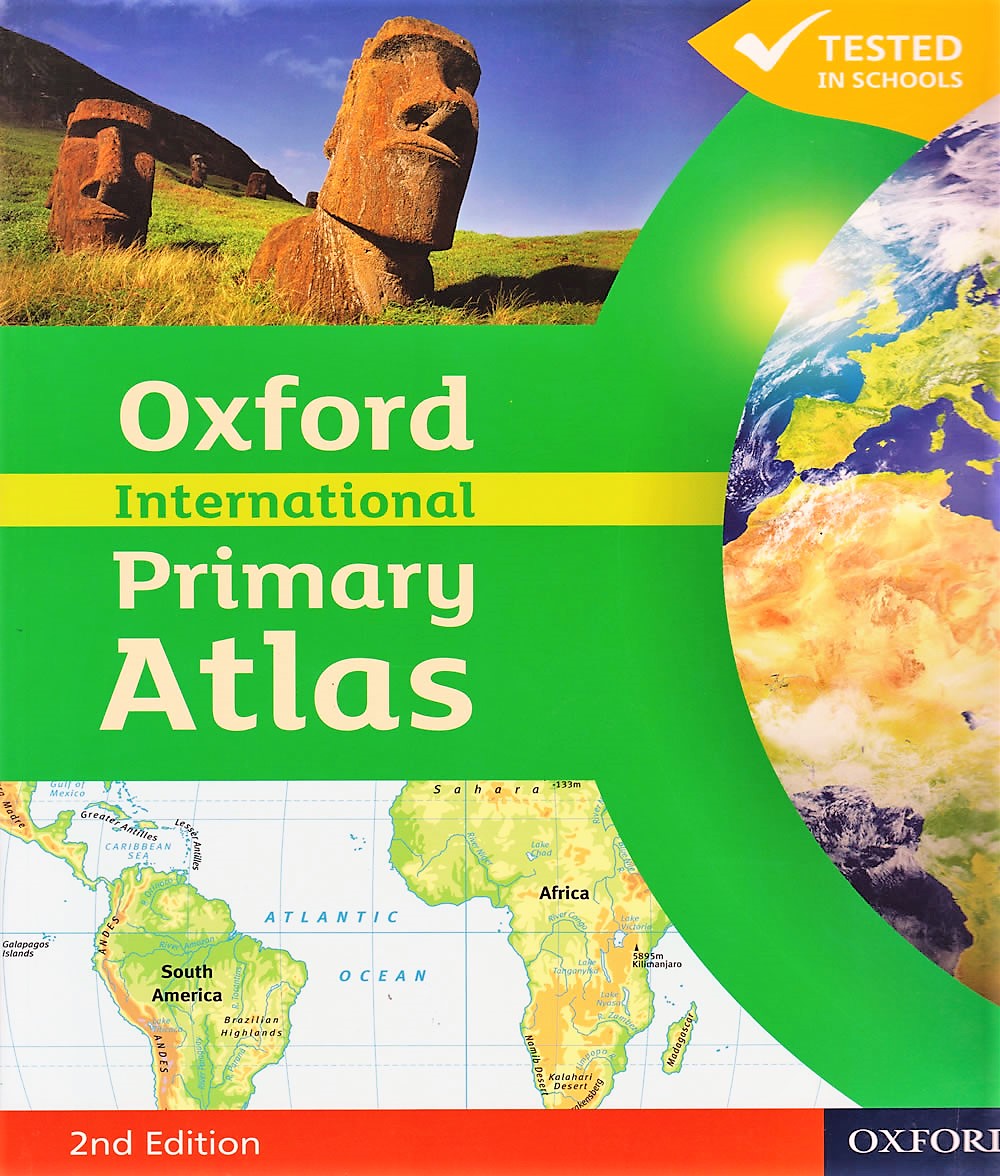
Oxford International Primary Atlas
by Wiegand
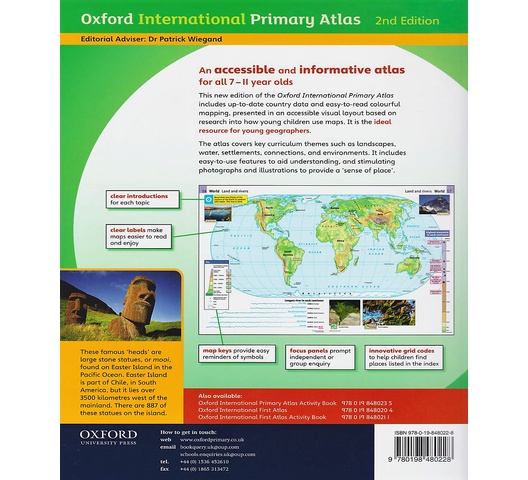
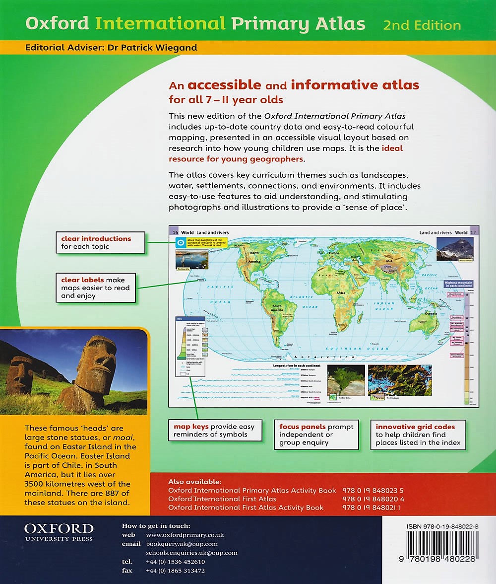
This new edition of the Oxford International Primary Atlas includes up-to-date country data and easy-to-read colourful mapping, presented in an accessible visual layout based on research into how young children use maps. It is the ideal resource for young geographers.
The atlas covers key curriculum themes such as landscapes. water, settlements, connections, and environments. It includes easy-to-use features to aid understanding and stimulating photographs and illustrations to provide a ‘sense of place’.
KES 2,190

International delivery
Free delivery on orders over Ksh 2,000
Free click & collect