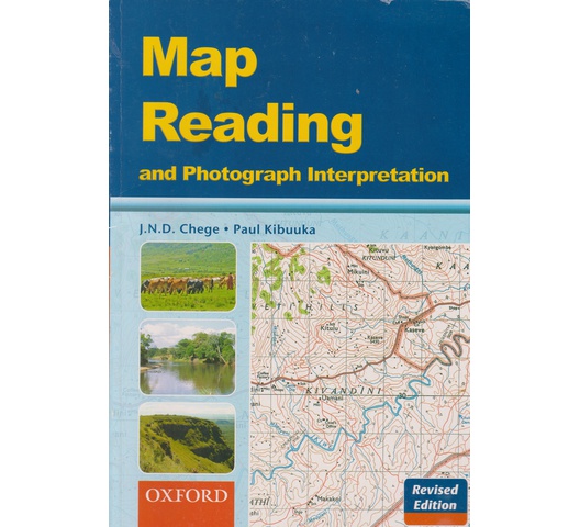
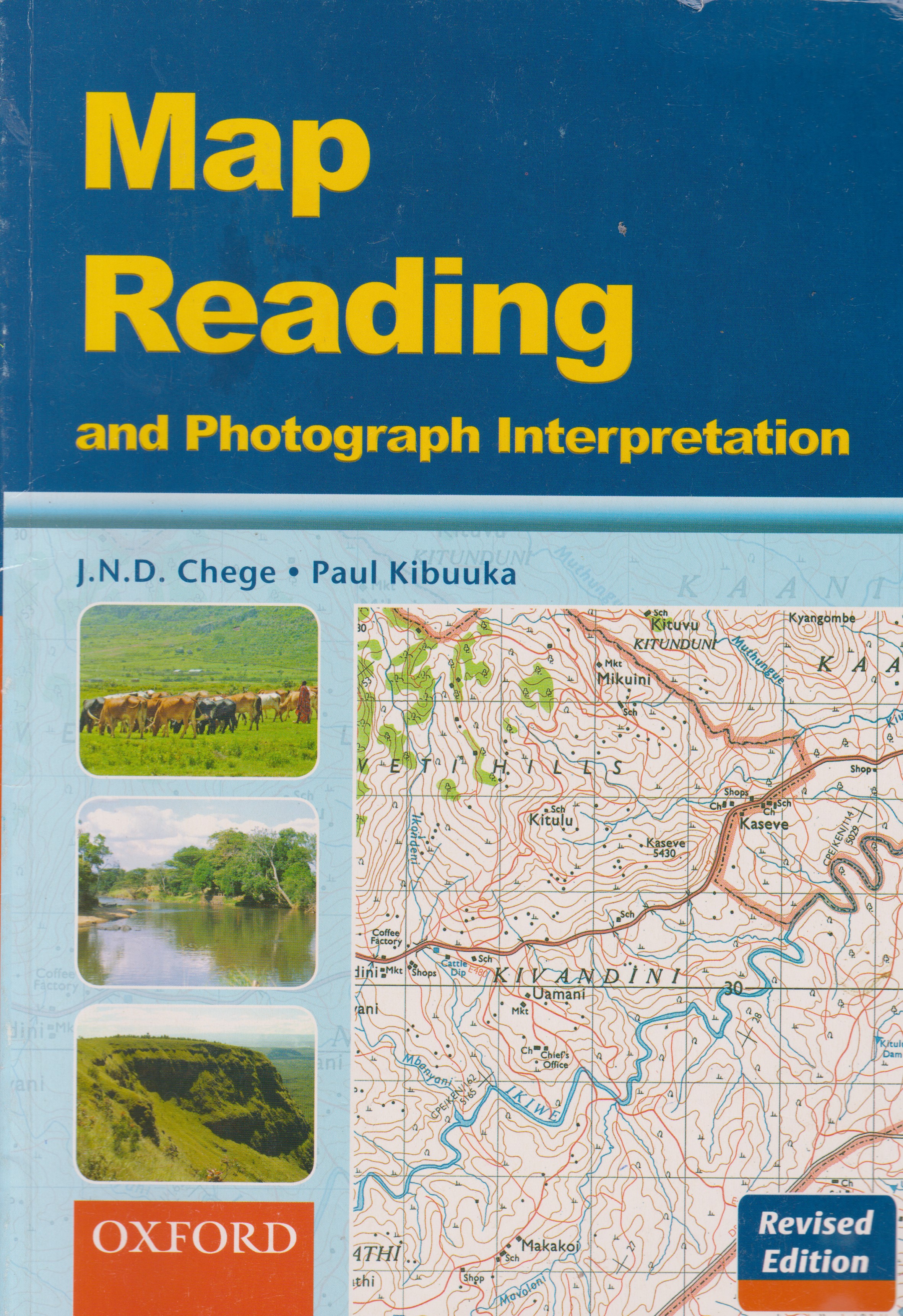
Map Reading and Photograph Interpretation
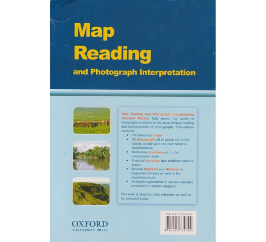
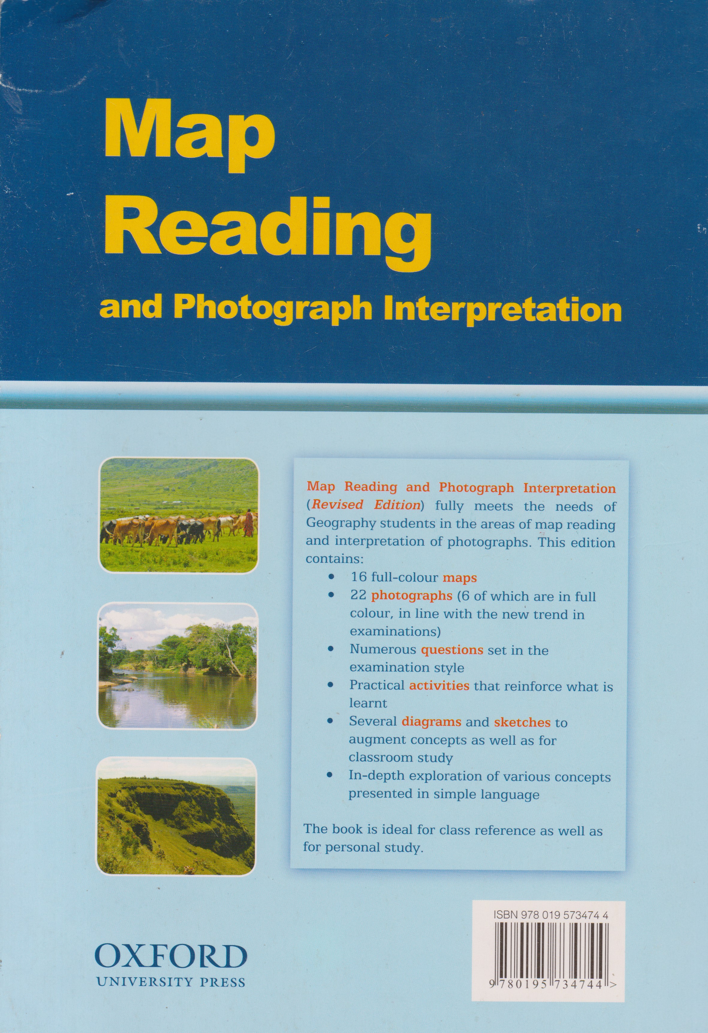
Map Reading and Photograph Interpretation (Revised Edition) fully meets the needs of Geography students in the areas of map reading and interpretation of photographs. This edition contains:
-16 full-colour maps
-22 photographs (6 of which are in full colour, in line with the new trend in examinations)
-Numerous questions set in the examination style
-Practical activities that reinforce what is learnt
-Several diagrams and sketches to :augment concepts as well as for classroom study :
-In-depth exploration of various concepts presented in simple language
The book is ideal for class reference as well as for personal study.
KES 719

International delivery
Free delivery on orders over Ksh 2,000
Free click & collect